1st WaterBot (#20 Lat: 38.38616 Lon: -82.39620)
This WaterBot is located close to Huntington High School. It's hard to tell, but the post with the WaterBot is located on the bank and the sensor is attached to a log under the water. A GigaPan of the first site can be found at: http://gigapan.com/gigapans/115992
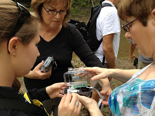
Examining the first site for the best placement.
A better look at the site.
"If I had a hammer!"
Brian looking for a signal.
Can't install a WaterBot without getting a little wet!
Ready to go!
2nd WaterBot (#22 Lat: 38.40696 Lon: -82.44949)
The second WaterBot is located in Ritter Park. It was mounted to the creek side of an overhanging tree. The sensor was held under water by attaching it to a short piece of rebar pounded into the creek bed.
A GigaPan of the installation at this site can be found at: http://gigapan.com/gigapans/116000.
A GigaPan of the site taken after installation: http://gigapan.com/gigapans/116006
Crossing Four Pole Creek to get to installation site.
The perfect tree.
Brian and Rick hard at work!
The sensor is attached to a piece of rebar pounded into the creek bed.
Rick looks for a signal.
Installation complete!
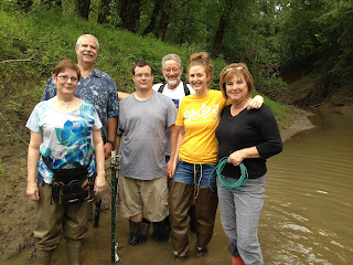
Caught in the act!


